As if we didn’t have enough to worry about
Coastal flooding. Photo credit: National Oceanic and Atmospheric Administration
July 16. If you’re thinking about getting a little place at the beach, you might want to invest in waders. The National Oceanic and Atmospheric Administration predicts more and worsening flooding along the North Carolina coast as sea levels rise.
Known as high tide flooding, it typically occurs when ocean waters rise well above the daily average high tide and begin spilling onto streets or bubbling up from storm drains. Evidence of a rapid increase in sea level rise related flooding started to emerge about two decades ago.
“This type of coastal flooding will continue to grow in extent, frequency, and depth as sea levels continue to rise over the coming years and decades,” according to the State of U.S. High Tide Flooding with a 2020 Outlook.
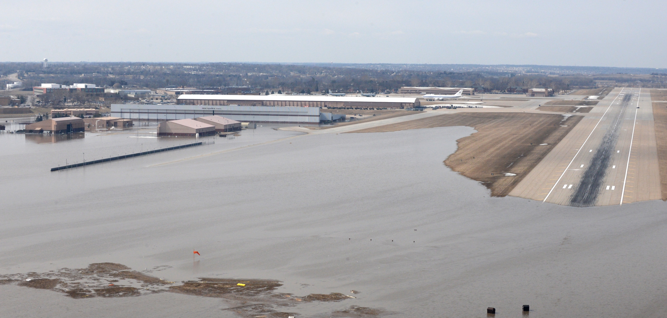
Closer to home, Lake Norman seems almost immune to serious flooding, thanks to Duke Energy lake management. Down-river, Mountain Island Lake is another story.
In 30 years national high-tide flooding frequency is likely to be 5–15 times higher than it is now, NOAA says.
Here’s a look at three NC coastal spots by year, with how many flooding events are expected
Oregon Inlet
2020: 4 to 7
2030 – 7 to 15
2050 – 35 to 165.
Beaufort
2020: 1 to 3
2030: 6 to 15
2050: 25 to 100
Wilmington
2020: 2 to 5
2030: 4 to 9
2050: 15 to 65.
Interestingly enough, places like Key West and Honolulu show little or no increase in high tide flooding in the coming decades, the NOAA report says. To see for yourself, click here.