LKN’s massive size is an asset during rainy season
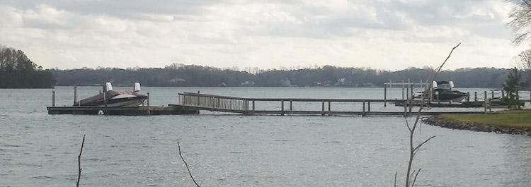
AN OLD DOCK ON BELLE ISLE IS STILL ABOVE WATER
Feb. 12. By Dave Vieser. Unusually heavy rainfall has raised water levels on Lake Norman, as well as the rivers feeding the lake, forcing Duke Energy to begin releasing water at the Cowans Ford dam.
Duke typically lowers the water levels during the winter, allowing various projects to take place. This year, the lower levels have been more about unprecedented rainfall events.
Fortunately, for Cornelius residents, Lake Norman is the “steady Eddie” of the Catawba River lakes.
Its 32,000 acres hold trillions of gallons of water. It can store far more rainwater pouring down the Catawba River than Mountain Island Lake.
An inch of additional water on Lake Norman can add up to a foot of water on the other side of the dam.
As of Feb. 12, Lake Norman was at 98.79 feet, about four feet higher than the target level for this time of year. It means there’s still at least a foot to go before flooding occurs on Lake Norman.
Officials from the National Weather Service Greenville/Spartanburg office explain that higher rainfall amounts have been consistently recorded in the Charlotte/Lake Norman area.
“The past two years especially have been well above the 30-year average,” said Meteorologist Harry Gerapetritis. “And, we’re off to strong start in rainfall for this year,” noting that rainfall in January was 4.66 inches and is at 3.41 inches only a third of the way through February.
Heavy rains force Duke to move water much more aggressively from the Catawba River through their hydro generating plants, spillways and flood gates, all to make room for more water from the rain swollen rivers.
Last year there was considerable damage caused by flooding on Mountain Island Lake.
As to when the wet weather pattern will change, that’s anyones guess according to Gerapetritis. More rain is expected Wednesday and Thursday this week.
“We have a very wet forecast shaping up for the next 1 to 2 weeks, as we experience a very active southern stream pattern over the southern tier of the United States, along with a fairly persistent connection to deeper moisture from the Pacific Ocean,” he said.
Beyond the two-week window, all bets are off.
And for those who seek to blame El Nino, guess again. We are currently in neutral El Nino conditions.
North Carolina is not the only region being effected by warm and wet winter weather. The entire east coast has experienced a much warmer winter thus far, and major cities such as New York and Philadelphia have seen virtually no snow at all thus far this winter.
Additional rains could cause flash flooding to redevelop across areas that are already saturated from days of rain. Minor flooding is already occurring in some areas of eastern North Carolina as last week’s rains move downstream through the river basins.
“Everyone should stay alert to changing weather conditions and have a way to receive weather and flood warnings,” said Gov. Roy Cooper.
A flash flood watch is in effect for portions of Western North Carolina through this evening, where one-half to two inches of additional rain may fall. Outside of the mountains up to one inch may fall through midday Tuesday. Flash flood watches may be reissued in the west on Wednesday given the potential for additional light rain.
Strong thunderstorms may develop this afternoon and evening, as portions of the foothills, Piedmont, and northern coast are under a marginal risk for severe weather. The primary threats with any storms that develop will be damaging wind gusts and the possibility for isolated tornadoes. Minor to moderate flooding conditions are occurring today along the Black River and Northeast Cape Fear Rivers in Pender County, and along the Neuse River at Goldsboro and Kinston, and the Tar River at Tarboro, and other locations as last week’s rains move downstream.